When land and sea come into contact, this will inevitably influence the behaviour of the wind. And, the temperature of the land, sea and air will combine to produce different types of fog. Understanding how these happen will help you sail more safely, and this knowledge is vital for Yachtmaster and other sailing qualifications.

In this tutorial, we are going to consider sea breeze/land breeze, convergence/divergence, katabatic/anabatic winds, barriers/eddies, funnelling, and radiation fog/advection fog.
Sea breeze/land breeze
Sea breeze (a breeze from the sea to the land) is a phenomenon that occurs during the daytime, often noticed in fair weather, in the summer, under clear skies. Because the land heats up faster than the sea in the daytime, sea breezes are likely to become more noticeable as the day progresses. As well as this, a sea breeze may veer as it develops, until it is running parallel to the shore. Essentially, warm air cools as it rises over the land, descends, and is blown back onshore. A sea breeze might be felt up to 20 miles offshore, and could reach 20 knots – though it’s worth remembering that small islands generally don’t have enough land mass for much of a sea breeze to build up.
Land breeze, which blows from the land to the sea, has the opposite characteristics of sea breeze. It occurs in the evening and into the night, as the land cools rapidly. Land breeze can’t be felt as far from the coast, and is generally much lighter than sea breeze. That’s unless you are anywhere near mountains, which brings us on to the next section.
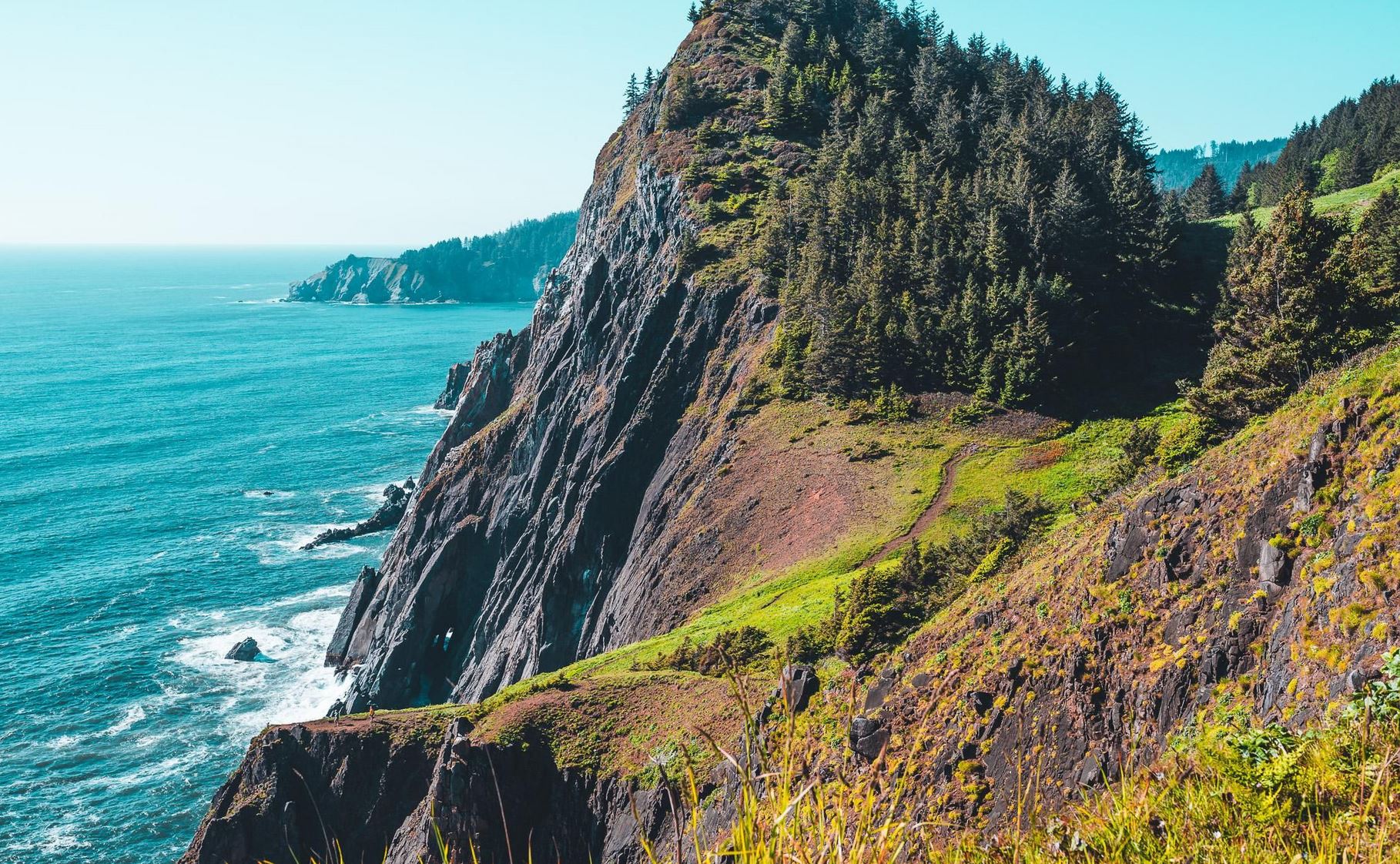
Katabatic/anabatic winds
Katabatic winds are a rather extreme form of land breeze. They occur in areas of high ground, such a near mountainous, and can spring from seemingly nowhere. When sailing such coasts, be prepared for sudden winds of up to 30 knots at any time from sunset to sunrise.
Anabatic winds are the opposite to katabatic winds, being an extreme form of sea breeze blowing towards the land in mountainous areas. As the sea breeze reaches a valley, it meets rising warm air that strengthens the wind. Definitely one to bear in mind if you’re planning a trip to the Norwegian fjords.
Barriers/eddies
Unlike your boat, a sea breeze or other onshore wind is not going to disintegrate if it runs into a wall of rock. Rather, an onshore wind will become unpredictable when it meets a barrier such as high ground on the coast. The steeper the gradient of that ground, the more turbulent and stronger the wind will become. On the other hand, a land breeze or offshore wind will immediately create an eddy back towards land. Wind will be flukey in the vicinity of headlands, and further out, up to 10 times the height of the land, it will remain turbulent.
Convergence/divergence
Convergence
Imagine that you are running east-west parallel to a coastline on your right with the wind at your back (meaning the low pressure is to seaward). That same wind is also blowing east-west across land and sea. Because the land creates more friction than the sea, the wind will back (turn anti-clockwise, to north-east for example) and the result will be stronger wind along the coast. This is called convergence.
Divergence
Now imagine that you are running west-east parallel to a coastline on your left with the wind at your back (meaning the low pressure is over the land). The same wind is also blowing west-east across land and sea. In this case, the wind will also back (for example, to south-west) and the result will be weaker wind along the coast. This is called divergence.
These rules are true in the northern hemisphere. In the southern hemisphere, the wind will veer due to divergence and convergence (for example, shifting from east to south-east, or west to north-west). With the land on your left and the wind behind you, you will experience convergence (so, stronger winds on the coast). With the land on your right and the wind behind you, the result will be divergence – bringing weaker wind on the coast.
Convergence and divergence are why we typically experience winds of different strengths on each side of an island.
Funnelling
We already know that the wind is not going to stop when it reaches an obstacle. It is going to go around, over or under it. In a space between the mainland coast and an island, the wind will be stronger as it is funnelled between the two land masses. Generally, the higher the land masses and the closer they are together, the more the wind will pick up speed as it is forced through the narrow space.
Radiation fog/advection fog
For sailors, it’s important to distinguish between two types of fog. Radiation fog is also known as land fog. This can form over land at night, as the ground cools and moisture condenses. The land breeze will carry it out to sea a little, and it is likely to disperse of its own accord.
Advection fog, or sea fog, is a different beast. Imagine a warm southerly wind blowing towards the UK. The air in question will be at a higher temperature to the sea over which it blows, so will condense into advection fog. Unlike radiation fog, advection fog isn’t going anywhere on its own. The only way it can dissipate is with the arrival of colder and dryer air.