The Shipping Forecast is practically a British Institution. It’s listened to by sailors and landlubbers alike for the poetry of its sounds. It’s also complete gibberish unless you know the special code, which is also used in many other forecasts. So what does it all mean? Before reading on, we recommend that you download your free, printable Beaufort Scale, Douglas Scale and swell charts here.

First, let’s look at the format of the Shipping Forecast, and the Inshore Waters Forecast issued by the Met Office in the UK and broadcast on BBC Radio 4 and VHF for ships several times each day.
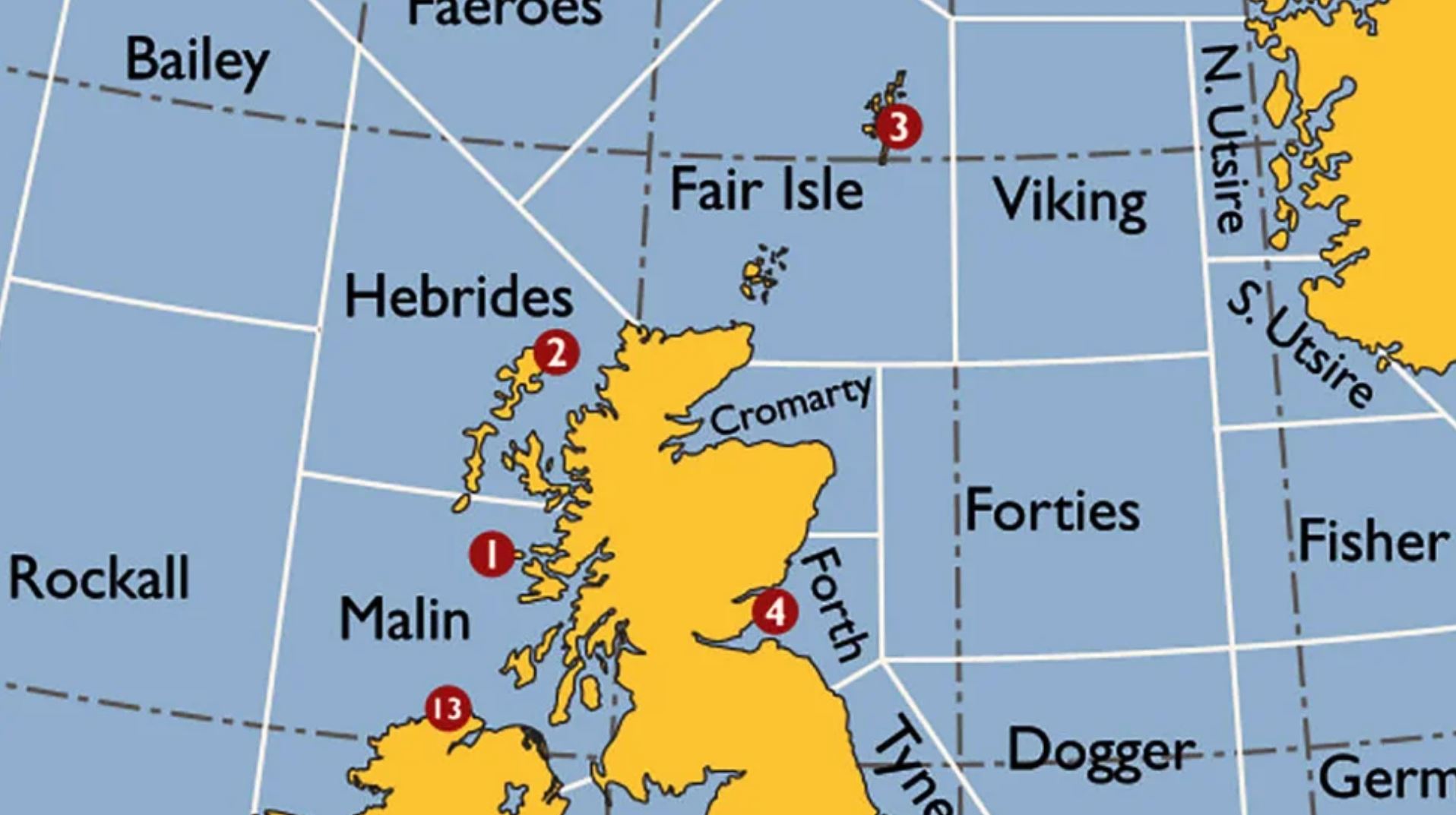
The Shipping Forecast
Time and date of issue, period of validity, gale warnings, general synopsis of weather around the British Isles, and then…
Area forecasts for the next 24 hours, for each of the 31 sea areas around the British Isles. These are often combined when the same conditions are expected.
The Inshore Waters Forecast
Time and date of issue, period of validity, general situation of weather around the British Isles, and then…
Area forecasts for the next 24 hours, and outlook for the following 24 hours, for each of the 19 inshore waters areas (each extending approximately 12 miles out to sea).
For the Shipping Forecast and the Inshore Waters Forecast, information about each area is given in the following order:
The name of the area, wind (direction, speed on the Beaufort Scale, behaviour), sea state (based on the Douglas Scale), precipitation, visibility.
So, we might hear, in the Inshore Waters Forecast:
“Land’s End to St David’s Head including the Bristol Channel, south-westerly 4 or 5 increasing 6 to gale 8, occasionally severe gale 9 later in north-west. Moderate or rough, becoming very rough or high in west. Occasional rain later. Good, becoming moderate, occasionally poor later”.
And, in the Shipping Forecast:
“Rockall, Malin, Hebrides, Bailey, southerly or south-westerly, becoming cyclonic or westerly for a time, severe gale 9 to violent storm 11, occasionally hurricane force 12 in Rockall, Hebrides and South Bailey, decreasing 5 to 7 for a time later. High or very high, Rain or squally showers. Moderate or good, occasionally poor”.
How can we interpret this? Each word means something specific, so you will need to understand the following vocabulary:

Tips: The Beaufort Scale expresses wind speed (download the printable Beaufort Scale, Douglas Scale and swell chart here if you haven’t already done so). As a general rule, subtract one from the Beaufort Scale number, then multiply the result by five to get the wind speed in knots. Each step in the Beaufort Scale represents a range of wind speeds. We found that it helped to remember only the upper limits, which give the following sequence:
<1, 3, 6, 10, 16, 21, 27, 33, 40, 47, 55, 63, 64+
So, anything under one knot is 0 on the Beaufort Scale, anything from one knot to three knots is 1 on the scale, anything from three to six knots is 2 on the scale, and so on.

Tips: Sea state is measured on the Douglas Scale (download the printable Beaufort Scale, Douglas Scale and swell chart here if you haven’t already). As with the Beaufort Scale, we found it useful to remember only the upper limits of each range, giving the following sequence:
<0.5, 1.25, 2.5, 4, 6, 9, 14, 14+

Tips: If visibility is described as very poor, expect thick fog. And no, we don’t know why they switch between metres and nautical miles either.


Tip: Timings refer to the time at which the forecast was issued (which you will hear at the beginning of every forecast), NOT to the time at which you read or hear it.


Tip: Remember that 1mb is the same as 1hPa
More resources:
If you haven’t already done so, download your free, printable Beaufort Scale, Douglas Scale and swell tables here.
You can download all of the terms and tips from this tutorial for free, in printable format, here.
For much more information about the Shipping Forecast, including explanations of different sea areas and a brief history of British maritime weather forecasting, download the excellent Met Office factsheet here.