We’ve discovered what we think is the best tablet/app/chart combination in the world for navigation…

We have a dedicated chart plotter on Amneris, a rather old but still functional Garmin. And of course, we have paper charts in the navigation table to cover whatever waters we’re cruising in, along with pilot books and the indispensable Reed’s Almanac.
In addition, we really wanted to have an up to date electronic system that could run on a tablet dedicated for use on Amneris. It took a bit of shopping around, but we found the perfect combination.
The hardware is a 10-inch Samsung Galaxy Tab A6, with a Unicorn Beetle nuclear war-resistant casing. The battery life is easily 10 hours when navigating, which includes all the very accurate GPS positioning you can ever need, and it’s easy to keep running even past the 36-hour mark with a single pre-charged power bank.
We have the usual boat apps – free tide and weather information, and so on – as well as the Marine Navigator plotter app. This is a fully functional and easy to use app which costs around GBP 6 and is easily a match for Navionics and the like. It has all the usual functions (waypoints, speed and course over ground, time to destination and so on), and for a couple of pounds more you can add on AIS receiver functionality. Marine Navigator doesn’t come with any charts, but it has no problems storing, reading and displaying whatever you need from various sources, paid and free.
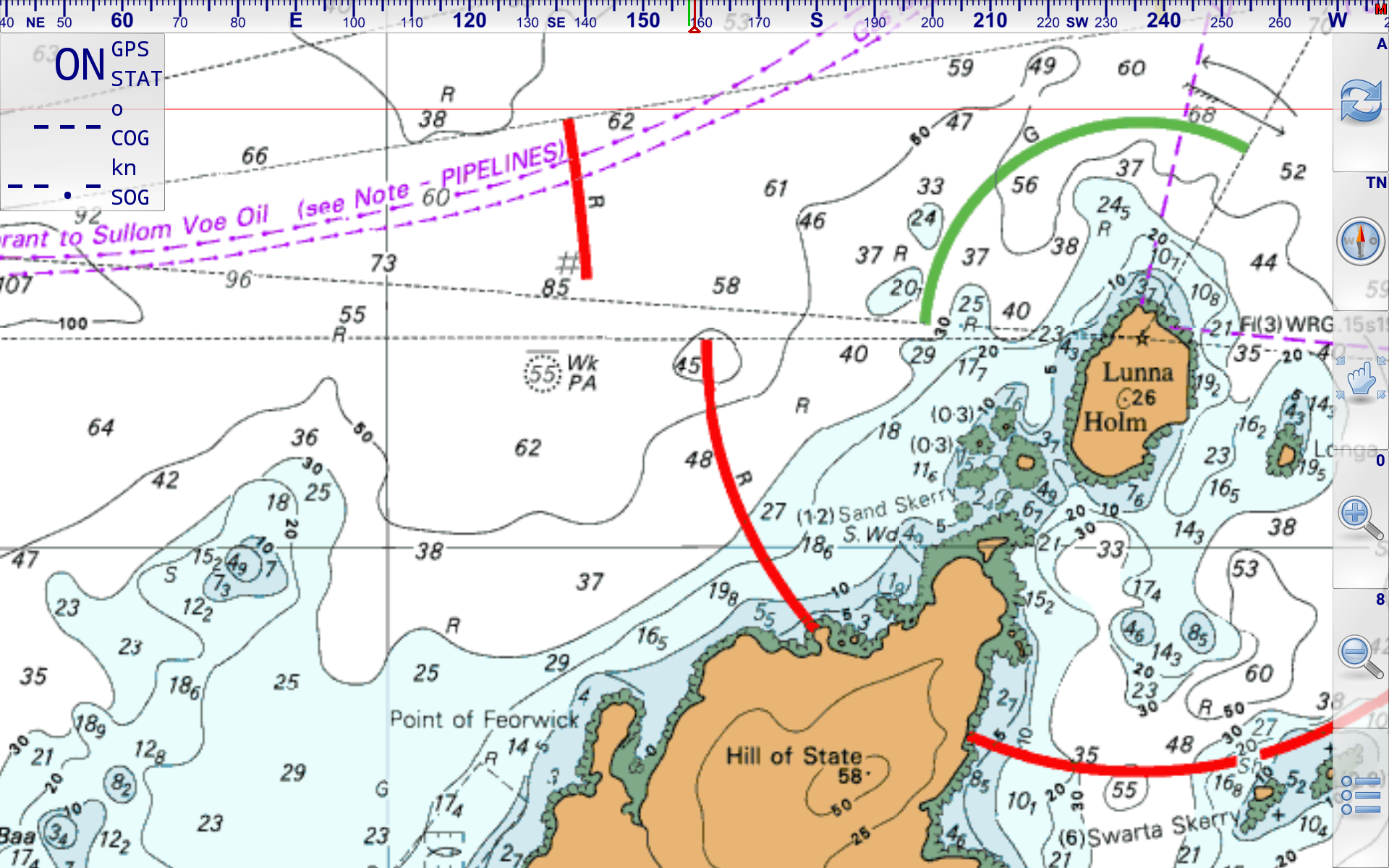
To make the most of this app, we bought the full set of 2019 UK, Ireland, near continent, Atlantic France and Iberia charts from Visit My Harbour. We were already members of this site because of its unrivalled access to pilot notes for all of the UK, and its offer of online viewing for large and small-scale charts, tide tables, and so on. All of that is included in the one-off joining fee of GBP 25, which also entitled us to a decent discount on the chart set, at GBP 38. That’s GBP 38 for 1334 high-quality raster charts that look just like the Admiralty paper versions and merge seamlessly in Marine Navigator.
So far, this combination has proved to be one of the best investments we have made in Amneris (and nowhere near the most expensive). We’d recommend it highly if you’re in the market for tablet-based navigation.
*None of the companies mentioned in this article paid us or gave us any free kit. In fact, we’d be very surprised if they even knew we’d recommended them. We only published this because we truly do rate the kit.